
Software
The QuantyView series builds integrated geological–geographic, subsurface-to-surface models, making complex geological structure and mineral resources visible for expression, analysis, process, design and decision-making — from field data collection through to exploration and development decisions.
- QV-3.0QuantyView 3.0A 3D geological information system platform with fully independent intellectual property
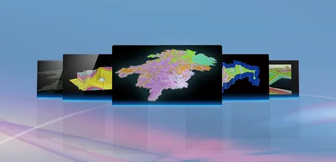 Parent · 3D platform
- PESQuanty PESSolid mineral exploration and development information system
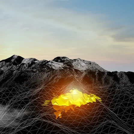 Built on QuantyView
- RESQuantyRESMineral resource and reserve estimation systemScreenshot to comeBuilt on QuantyView
- HYDROLOGYQuantyHydrologyHydrology and sediment information systemScreenshot to comeBuilt on QuantyView
- SURVEYQuantySurveyRegional geological information systemScreenshot to comeBuilt on QuantyView
- ENGINEQuantyEngineEngineering geological information system
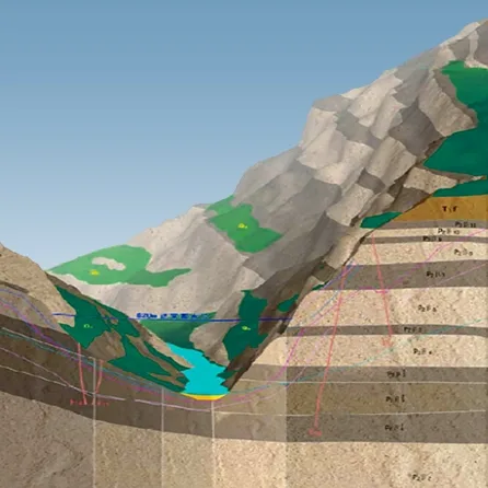 Built on QuantyView
- MINEQuantyMineMine geological information systemScreenshot to comeBuilt on QuantyView
- URBANQuantyUrbanUrban geological information system
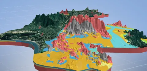 Built on QuantyView
- PIPEQuantyPipeUrban pipeline information system
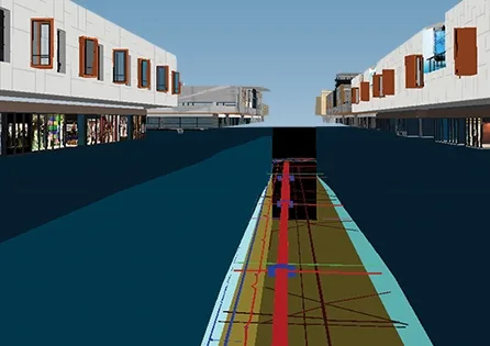 Built on QuantyView
- HAZARDQuantyHazardGeological hazard information system
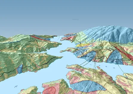 Built on QuantyView
- PETROLQuantyPetrolPetroleum geological information system
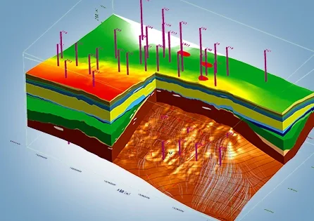 Built on QuantyView
- GEOBDSPQuantyGeoBDSPGeological exploration big data platformScreenshot to comeBuilt on QuantyView
Not sure which system fits your project?
Tell us the project type and your data; our engineers will recommend a combination and demo it on your scenario.
Book a demo