
中文
Menu
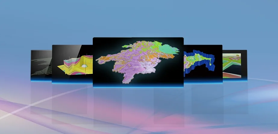
QuantyView 3.0 软件界面

Overview

The QuantyView series is designed for building integrated geological–geographic, subsurface–surface models of geological bodies. It provides 3D visualization of complex geological structures and mineral resources for expression, analysis, process, design and decision-making. Together these capabilities support the digitization of the whole geological and mineral exploration and assessment workflow: data collection, data compilation and data management, through map compilation, geological modelling, reserve calculation and resource and environmental assessment, to exploration and development decisions.

Development of the platform was funded by the National High-Tech R&D Program (863 Program) and the Wuhan Venture Fund.

QuantyView 3.0 · A 3D geological information system platform with fully independent intellectual property · 地大坤迪 Quantysoft