
QuantyEngine
Engineering geological information system
- No.
- ENGINE
- Lineage
- Built on QuantyView 3.0
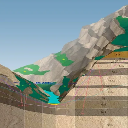
Engineering geological information system
QuantyEngine follows the real workflow of engineering geological investigation and design for water conservancy, hydropower and other engineering projects. It integrates investigation data management, computer-aided drafting of investigation maps, 3D geological modelling, spatial analysis, engineering calculation, virtual engineering analysis and design, report output, computer-aided investigation report writing, results management, and online retrieval and publishing. It brings computer aid and digital information to the whole process: from field reconnaissance, engineering surveying, drilling, exploratory adits and trenches, testing and sampling, through office compilation, analysis, calculation, drafting and reporting, to results management, archiving, online publishing and retrieval. Its development was funded by the East China and Kunming Hydropower Investigation and Design Institutes. It is listed and described as recommended software in the engineering investigation handbook and is used by hydropower investigation and design institutes across China.
QuantyEngine has four parts: a database subsystem, a 2D drafting subsystem, a 3D modelling and spatial analysis subsystem, and a network subsystem. It receives and manages raw and results data, produces more than 20 kinds of investigation drawings in 5 categories, builds 3D digital engineering models for spatial analysis, and supports online collaboration and publishing.
An advanced 3D data structure, the dual-body 3D data structure, combined with cut-based modelling, solves fast large-scale cutting between complex models. This lets engineering designs and design revisions be presented directly in 3D.
Mathematical interpolation is combined with interactive geological interpolation, and the 2D and 3D systems connect seamlessly, so 3D modelling data are easier to update and the resulting models are more accurate.
Tight integration of the database and the 3D system quickly produces 2D geological maps consistent with both the original investigation data and the 3D model.
Well-designed data interfaces connect the investigation-centred engineering geological information system with surveying upstream and with design and construction downstream.